12-26-2022, 01:21 PM
|
| |
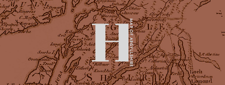
 Map of Argyllshire Map of Argyllshire
 Hanging in a spot on the second floor is a framed map of Argyllshire. This old, out-dated map features the Scottish county and surrounding areas before they were abolished in 1975. It isn't clear why the map was originally hung up at Hogwarts and many still don't understand why it is still featured in the second-floor corridor today. If anything, it makes for a good conversation starter or an easy-to-find place to meet up with someone.
Even though the map's purpose at Hogwarts isn't clear, you might find looking at it worth your while anyway. The map reflects the weather that is occurring outside -- if it is raining, a thick and dark mass will cloud the map until it clears; the landscape of the map will turn green when bright and sunny; during autumn the landscape changes colour; and the map gradually starts to turn white and freezes the rivers, lakes, and lochs on the map when snow begins to fall outside. When it is nighttime, the colours on the map dim except for where the towns are. Pretty cool, right?
|